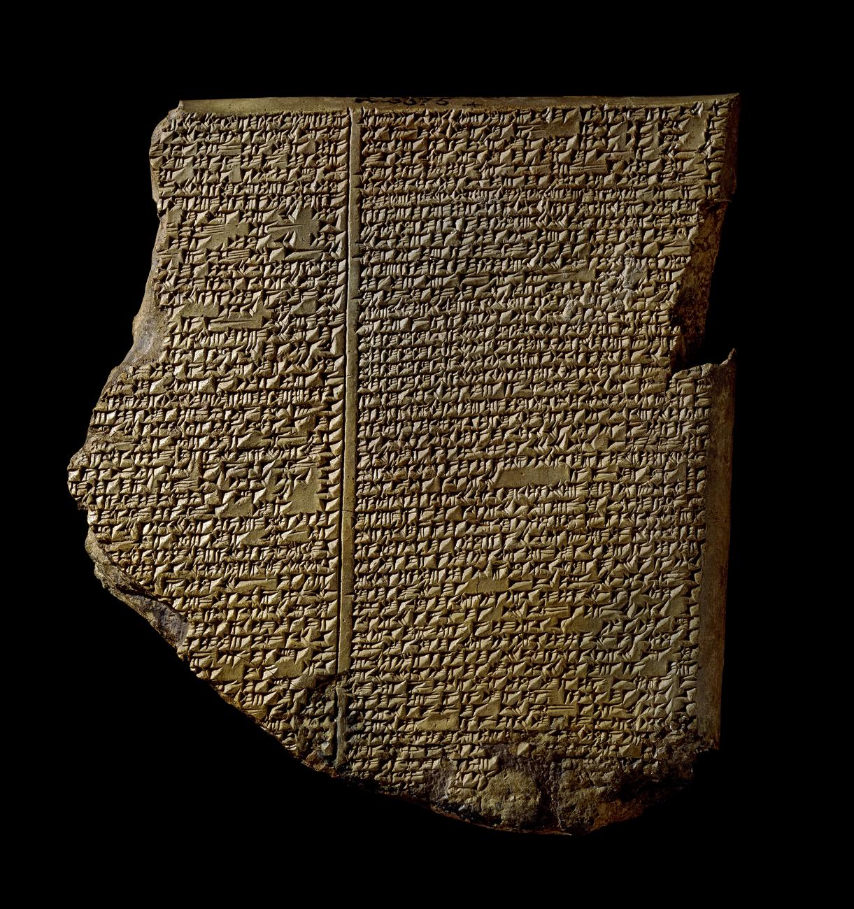
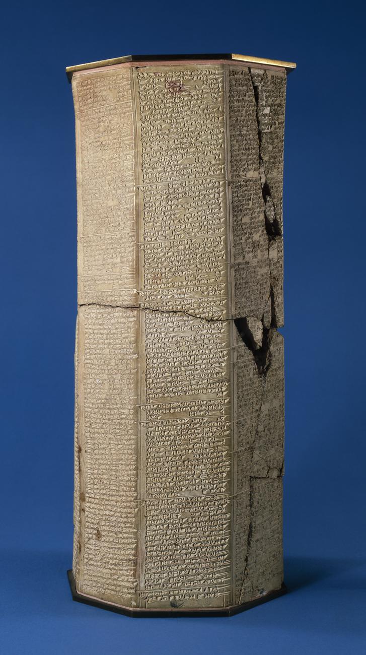
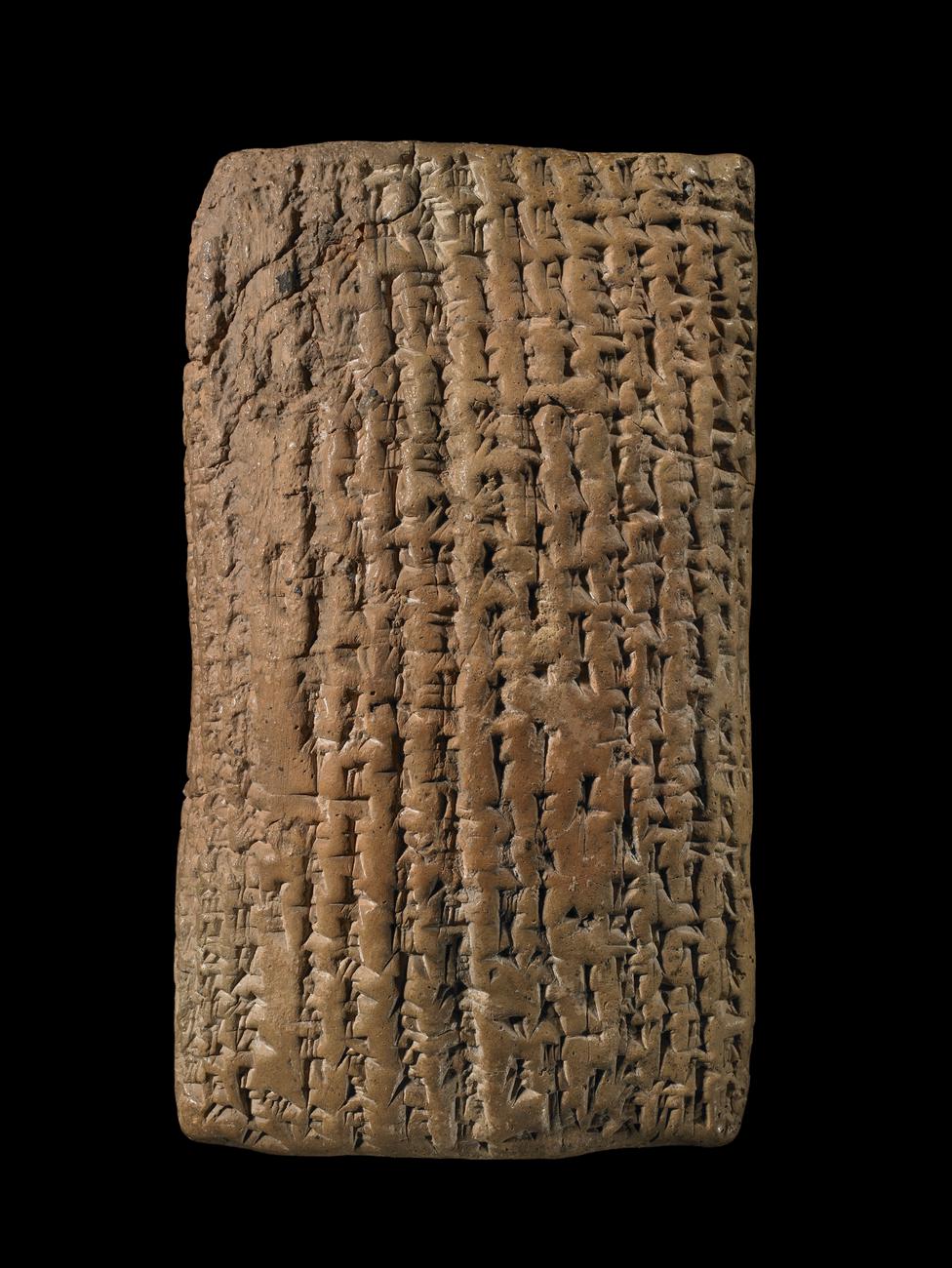
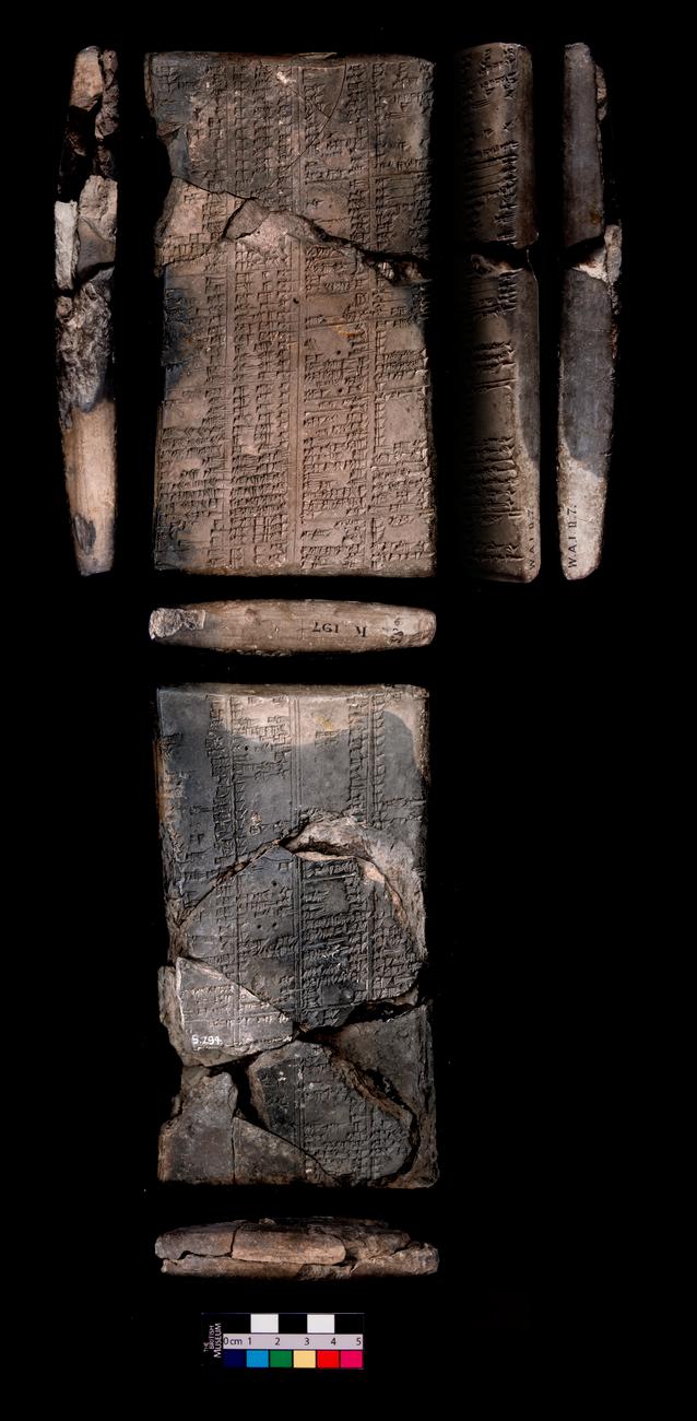
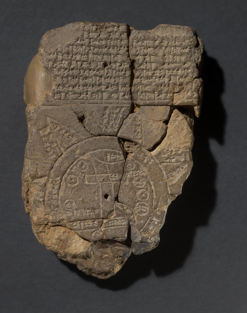
Babylonian map of the world
- Audio guide stop: 402
- Gallery: Room 55
- Culture: Late Babylonian
- Date: 6thC BC (approx)
- Object type: tablet
- Materials: clay
- Museum number: 92687
- Museum: The British Museum
- Collection record: British Museum website
- Image © The Trustees of the British Museum, shared under a CC BY-NC-SA 4.0 licence.
Listen to the free audio guide
About this object
Before you lies a rare and fascinating relic of ancient geography—this clay tablet is a Late Babylonian map of the world, crafted around the sixth century BC. You’ll see a circular world disc surrounded by a ring of water known as the "Bitter River." The city of Babylon is marked as a rectangle at the right end of the Euphrates, while other regions like Assyria, Bit-Yakin, and Urartu appear alongside inscriptions that still hint at lost knowledge.
Look closely, and notice the small circles representing cities and the mysterious double lines and symbols suggesting distances or mythical regions. This map wasn't just a tool for navigation—it was a reflection of Babylonian cosmology, where the world was a disk surrounded by water and eight distant, unexplored regions. These regions were linked to legends, gods, and creatures from the underworld, such as serpents, dragons, and sea monsters.
The tablet also includes a central "firing hole," likely intentionally placed, and inscriptions in Akkadian cuneiform that speak of faraway lands and strange creatures. This piece offers a rare window into how the Babylonians imagined their place in the cosmos.
See it in person
Babylonian map of the world is on display in Room 55 at the British Museum on Great Russell Street, Bloomsbury, London — free to enter. Choose British Museum on audioguide.london and type its audio guide stop number, 402, from the gallery label, or take a photo of it, to hear this free audio guide in six languages — no app download needed.
New, in beta. British Museum support has just launched and is still improving: over 1,000 objects so far, with more added all the time.