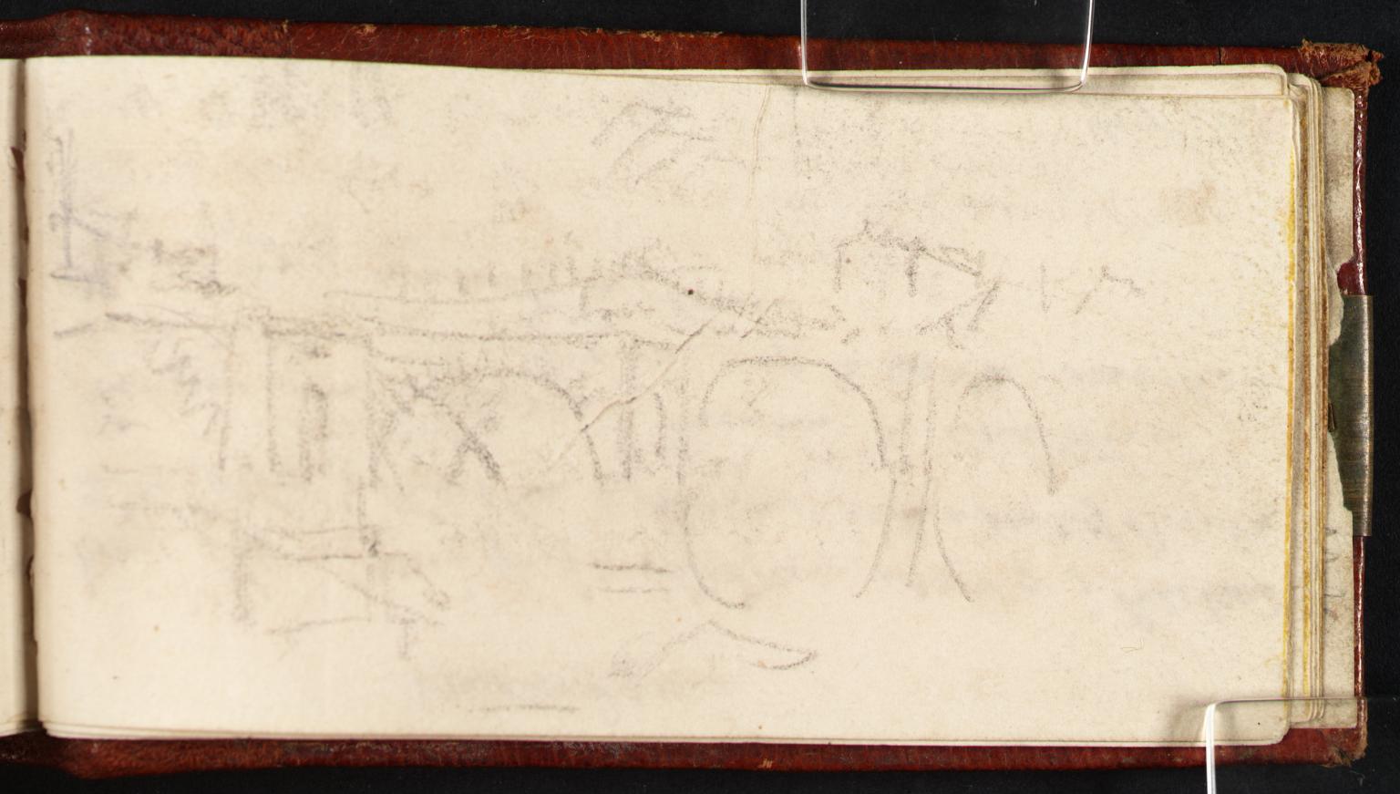
Sketch Map of the Meuse between Verdun and Mouzon; Other Notes and Sketches

- Artist: Joseph Mallord William Turner
- Date: 1824
- Medium: Graphite on paper
- Dimensions: support: 78 x 118 mm
- Museum: Tate Britain
- Collection record: Tate Britain website
Listen to the free audio guide
About this artwork
This is the “Sketch Map of the Meuse between Verdun and Mouzon; Other Notes and Sketches” by Joseph Mallord William Turner. Created in 1824, it’s a graphite drawing on a small sheet of paper, only about 78 × 118 mm, yet it packs a surprising amount of detail. Turner was travelling through the Lorraine region of France, mapping the Meuse River as part of his broader study of European waterways. The sketch shows the winding river, the towns of Verdun and Mouzon, and a handful of inset notes—some lines of text, a few quick drawings of trees and bridges—revealing how Turner combined cartography with his poetic eye for light and atmosphere.
The work sits in the Rivers Meuse and Moselle Sketchbook, a collection of field sketches that later became the basis for larger landscape studies. It was accepted into the nation’s collection as part of the Turner Bequest in 1856, highlighting how even his preparatory maps were considered essential to his legacy. Though small, this piece shows Turner’s meticulous approach: he used light, delicate graphite strokes to convey both topography and mood, turning a simple map into a study of the region’s character. The map’s notes hint at his observations about the terrain, the surrounding hills, and the interplay of water and light—elements that would dominate his later masterpieces.
See it in person
Sketch Map of the Meuse between Verdun and Mouzon; Other Notes and Sketches is in the collection of Tate Britain on Millbank, London — free to enter. Point your phone at any artwork there and audioguide.london plays a free audio guide in six languages — no app download needed.