Sketch Map of the Meuse between Mouzon and Sedan; List of Distances between Northern French and Belgian Towns

- Artist: Joseph Mallord William Turner
- Date: 1824
- Medium: Graphite and ink on paper
- Dimensions: support: 118 x 78 mm
- Museum: Tate Britain
- Collection record: Tate Britain website
Listen to the free audio guide
About this artwork
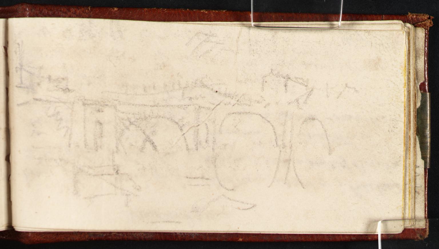
This is the "Sketch Map of the Meuse between Mouzon and Sedan; List of Distances between Northern French and Belgian Towns" by Joseph Mallord William Turner. Created in 1824, it’s a graphite and ink study on paper that maps the Meuse valley between the French towns of Mouzon and Sedan. Turner, later celebrated for his atmospheric seascapes, used the map to record precise distances between towns in northern France and Belgium—essentially a practical travel guide of the era. The drawing is detailed: winding river lines, marked settlements, and a clear legend of mileage. It highlights his keen observational skill and early fascination with geography. This compact piece was accepted into the nation as part of the Turner Bequest in 1856, keeping it in the public domain. It’s now displayed in the Turner & Constable exhibition, a reminder of how Turner blended scientific precision with artistic flair long before his famed light scenes.
See it in person
Sketch Map of the Meuse between Mouzon and Sedan; List of Distances between Northern French and Belgian Towns is in the collection of Tate Britain on Millbank, London — free to enter. Point your phone at any artwork there and audioguide.london plays a free audio guide in six languages — no app download needed.